INRTU’s Siberian Sсhool of Geoscience Develops Drone System for Large-Scale Geophysical Surveys
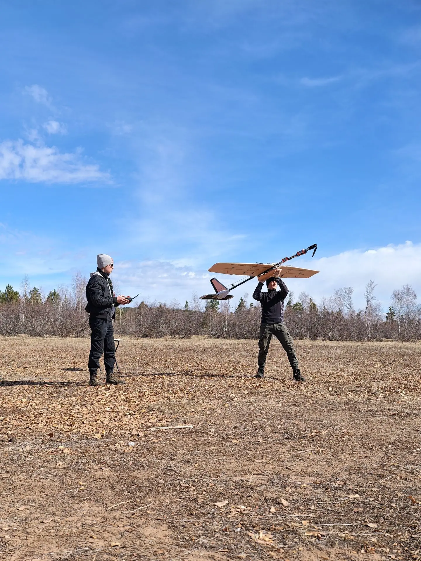
INRTU’s Siberian School of Geoscience (SSG) has developed a fixed-wing drone system for large-scale geophysical surveys as part of the Priority 2030 program. Alexander Parshin, Vice-Rector for Geology, Earth Sciences and Environmental Sciences, spoke about the new system.
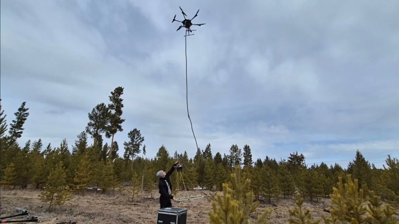
Vice-Rector noted that multirotor drones changed geological surveys. However, these drones have limited speed and flight range. This makes them less suitable for large regional surveys, where very detailed data is not needed. Operators also have to move the drone to new launch sites, which increases costs.
Several years ago, the SSG developed a prototype for magnetic and gamma-ray surveys. Its design solved the problem of electromagnetic interference from the drone affecting the sensors. Master’s student Munko-Zhargal Badmaev presented the prototype. The project later received an award from the All-Russian Society of Inventors and Rationalizers. However, the technology was not widely used in commercial projects because mineral exploration required very accurate data, which meant flying slowly and close to the ground.

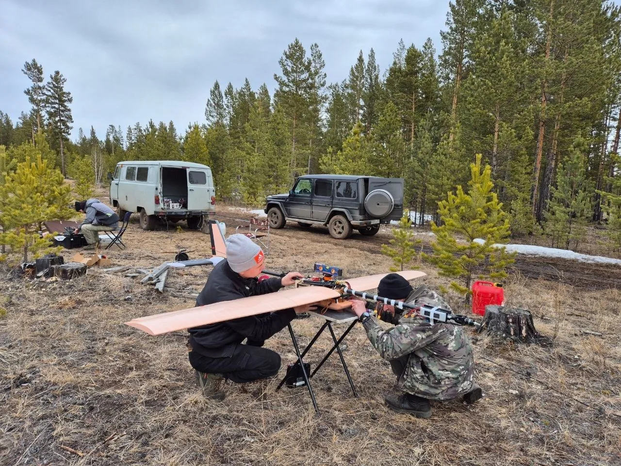
“This year, we used this technology to create a new system for large-scale surveys. The aircraft is made from widely available construction materials, so it can be built almost anywhere. Only the high-precision sensors need to be delivered.
Fixed-wing drone systems are useful when very detailed data is not required. They are used not only to search for minerals, but also to better understand the geology of large areas. In such surveys, the distance between flight lines is usually 200 meters or more,”
Alexander Parshin said.
This year, the SSG is carrying out research and commercial projects under government contracts. Drone-based geophysical surveys are still not widely used in such projects. The INRTU team therefore decided to demonstrate the advantages of the new technology in practice.
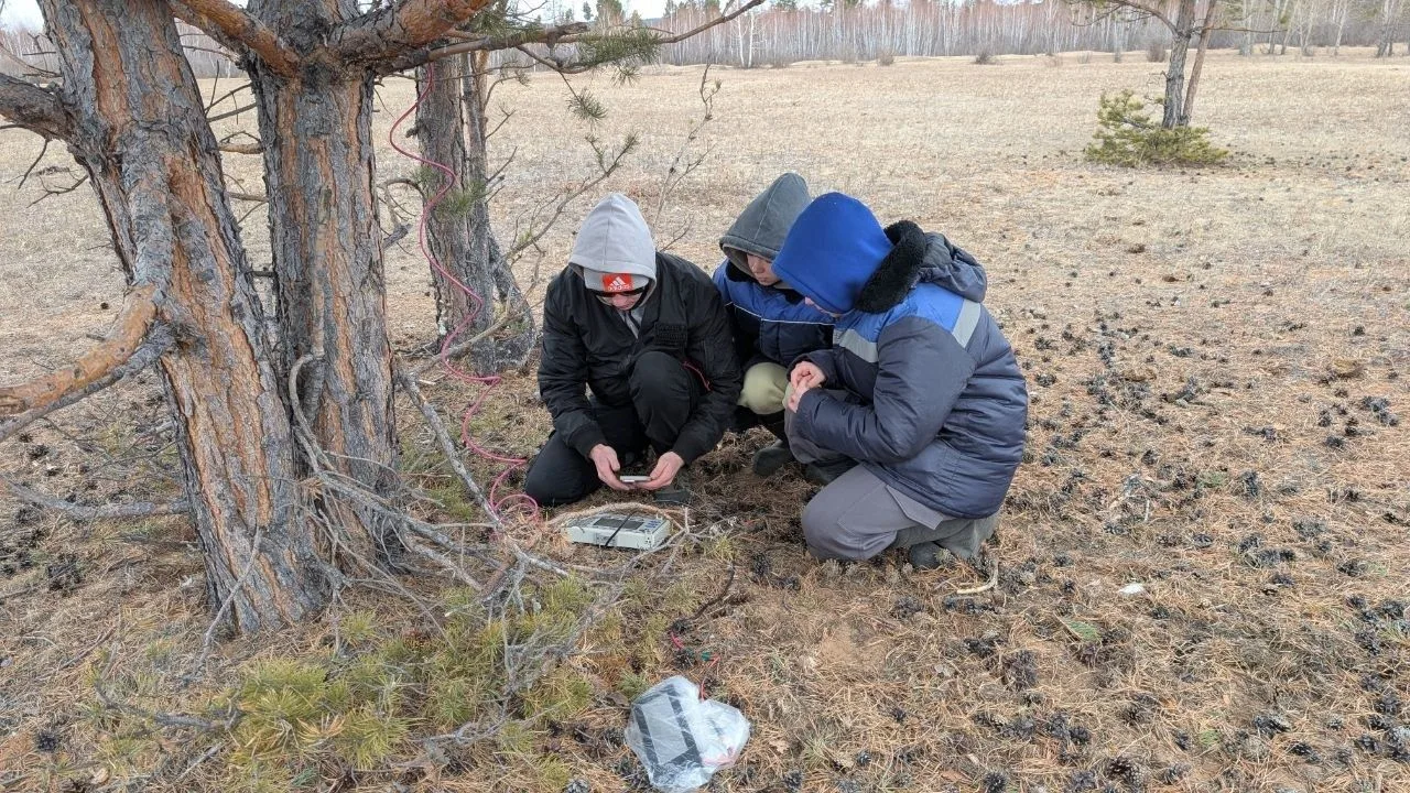
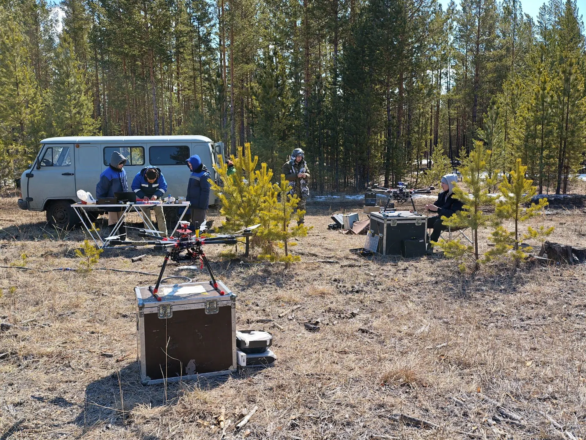
“This spring, out team carried out its first surveys in Buryatia. We used the new fixed-wing system and a traditional multirotor drone to compare the results. We also had data from earlier aerial surveys carried out with an An-2 aircraft.
The results showed that the new system produced data very closed to those from the multirotor drone. This is a good result. The fixed-wing system flies about 10 meters higher and almost twice as fast. It also reacts differently to wind, but the measurement accuracy remains the same.
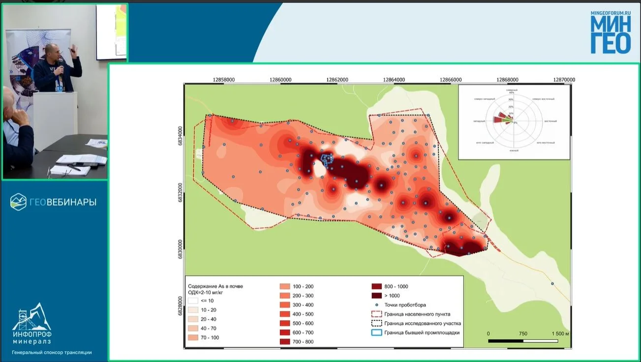
We have already presented these results to experts at a meeting of the Intersectoral Coordinating Scientific and Technical Council for Geology, Prospecting and Exploration of Uranium Deposits. They were also presented at the international Mingeo Siberia mining and geological forum,”
Alexander Parshin added.
This summer, field teams from the SSG also went to the Bodaibo District to carry out surveys for a new state geological map.
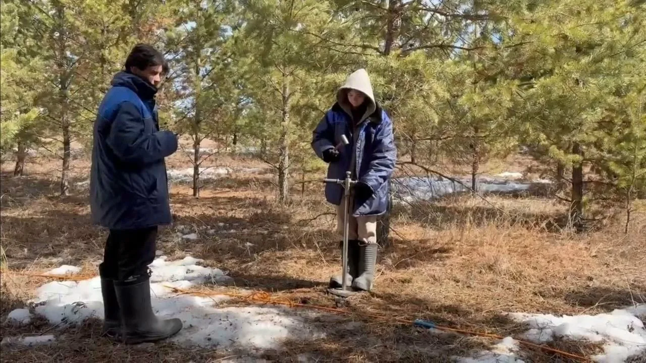
“Ground surveys are still the state standard for this type of work. But we will also collect drone data. By the end of the year, we plan to compare fixed-wing aerial surveys at 1:5000 and present the results to the Federal Agency for Subsoil Use. This could help change the current methods at the national level.
This is similar to what happened 10 years ago. We were the first in the world to compare multirotor drone data with ground surveys at the Krasnoye deposit, operated by GV Gold, a strategic partner on INRTU. Six months later, a new industry guideline was introduced, changing the way geological surveys were carried out.
Today, our research papers on replacing ground geophysical surveys with drone-based methods have received more than 200 citations in international databases,”
Vice-Rector noted.