The INRTU Team Designed the Atlas of Cultural Landscapes Based on the Results of the Siberian Tract: Irkutsk Province Project
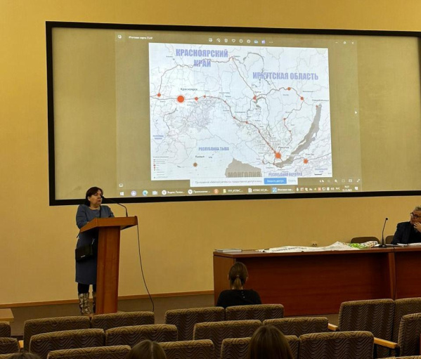
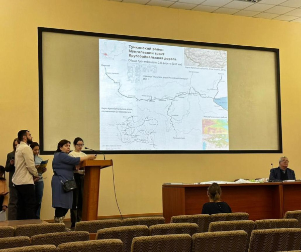
INRTU students developed a model of the Atlas of Cultural Landscapes of Eastern Siberia, dedicated to the history of the Siberian Tract. The edition includes photos, maps, local lore, and urban planning information collected during summer and autumn expeditions to the roadside settlements of the Irkutsk Region. The presentation took place in December in the building of the regional branch of the Russian Geographical Society (RGS).
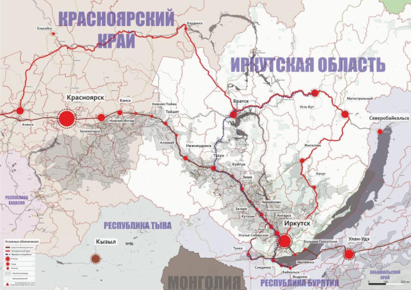
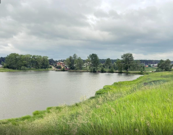
The Siberian (Moscow-Siberian) Tract and its continuation - the Circum-Baikal Tract is an ancient overland route that used to connect the European and Eastern parts of Russia, as well as reaching the borders with China. The section of the route fr om Siberia to Moscow is called the Moscow Tract. INRTU students studied the route, which mainly passed through the Irkutsk province.
The project was funded by the Irkutsk Branch of the Russian Geographical Society, SBER, and the Palp-Nord Group of Companies.
The result of the work came out as an illustrative printed album, which includes a route map with the bound sights of the Siberian tract. The publication also introduces the reader to ancient and modern maps made by students. There is also information about the preserved historical, trade and postal routes, provided by local historians, scientists and communities.
The creation of the album was preceded by hard work. In the spring of 2023, the students spoke at a conference.
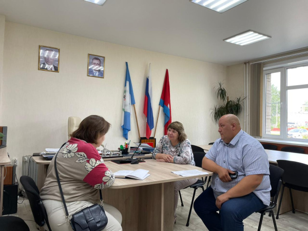
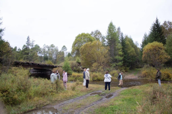
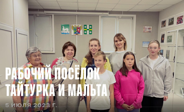
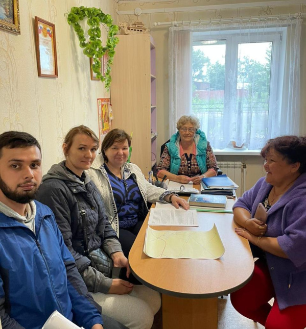
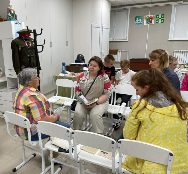
In summer the department team together with Evgenia Pulyaevskaya went on the first expedition (Telma-Taiturka-Mikhailovka (Polovinnaya)-Cheremkhovo-Zalari-Zima-Kimiltey). The INRTU students communicated with representatives of local authorities, museum and cultural workers, then processed data and searched for the northern trace of the overland route.
In autumn, the students visited the Slyudyanka district of Priangarya and the Tunka district of Buryatia.
About 10 urban planning students were involved in the project, each of whom made a great contribution to its development. They photographed memorable places and landmarks. The authors digitized part of the cartographic material after working in archives. They also surveyed the area from viewpoints and created new maps.
Daria Dysmanovich, for example, researched a stretch of road in the Usolskiy district. She identified and mapped landmarks, including traffic posts, an old church in Malta, and the Church of the Kazan Icon of the Mother of God in Telma.

"It is great that our project has received support. Representatives of the Russian Geographical Society gave us access to rare historical sources, and the staff of the East Siberian Railway Museum organized an excursion, which was also useful in preparing the Atlas," Daria notes.
Fifth-year student Anastasia Domanina grew up in the village of Zalari. As a result, she acted as a mediator between the project participants and the Zalari administration and local history museum.
Maria Ruzanova actively involved in the work in September, visiting Kultuk, Bystraya village, Tibelti village and Tunku. The student explains the choice of the route by the fact that the first overland routes to the East passed through the Tunka Valley, a branch of the Krugomorsky Tract, which later joined the Circum Baikal Tract in Kultuk.
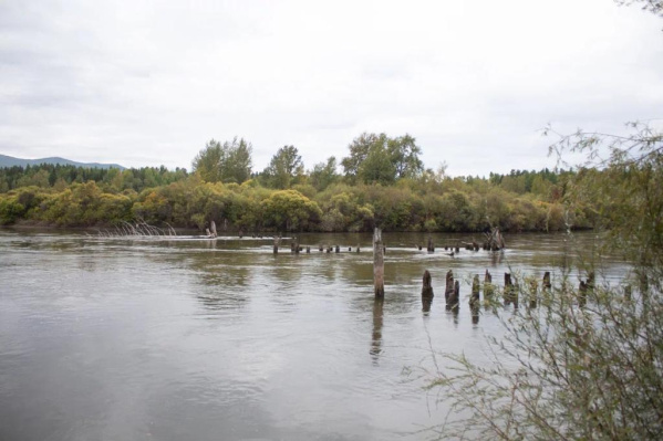
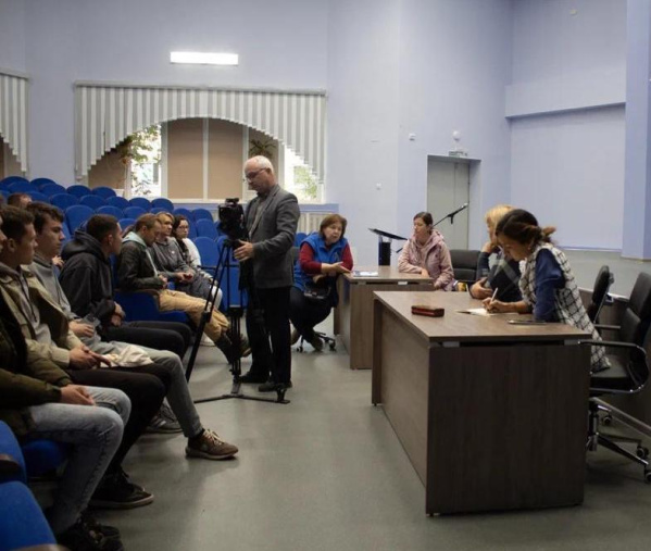
"During the trip we saw fragments of the first roads that ran through the Tunkinskaya Valley in the old days. One of the interesting objects is the bridge over the Bystraya River. It was reconstructed in the USSR years, but a part of the wooden planking has been preserved until today. At the end of the expedition we had a meeting with the administration of the Slyudyanka Municipality, wh ere we discussed possible assistance in promoting our project.
In the future, as an urban planner, I will have to reflect the historical potential of the territories in territorial planning documents. Therefore, the research on the Siberian Tract was professionally useful," Maria said.
According to the student, the Atlas may be of interest not only to city planners and local historians, but also to representatives of the tourist industry. Based on the collected material, it is possible to create exciting tourist routes along fragments of the tract.
As part of the project, INRTU students, together with activists from the South Baikal region and the Slyudyanka administration, installed a milepost at the Muravyov-Amursky station. In addition, a map of all settlements was created. They remind us of the history of settlements that originated as post stations and for a long time were reference points in the development and settlement of Southern Siberia.
Yevgenia Pulyaevskaya, the Project supervisor, emphasizes that there is only one copy of the Atlas, the model of which was handed over to the Russian Geographical Society:

"The pilot copy will be presented to the professional community and the municipalities to discuss its further filling with information. The publication should become a trademark of each municipality and unite efforts in the search for unique places, preservation of the region's history and its popularization. The preserved fragments of the tract should be included in the list of cultural heritage objects."
The researchers plan to continue their work and publish the first volume of the Atlas in the INRTU edition in 2024.
Photo courtesy of Evgeniya and Pavel Pulyaevskie