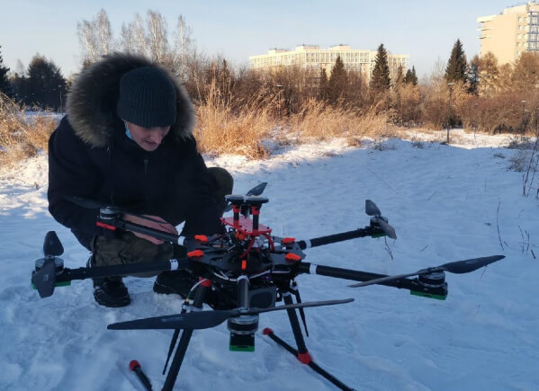
Geologists of INRTU will be hunting for the uranium with using drones
Scientists from the Siberian School of Geosciences at Irkutsk National Research Technical Universityhave created the SibGIS UAS drone complex to perform high-precision geophysical and geodesic works to search for uranium mines. It will be used by scientists and geologists to carry out magnetic-spectrometric and multispectral surveying of terrain in hard-to-reach areas. The unmanned complex is the result of the work of Irkutsk scientists in i. GeoDesign, a strategic project of the university implemented in a consortium under the Russian Ministry of Education and Science’s Priority 2030 program.
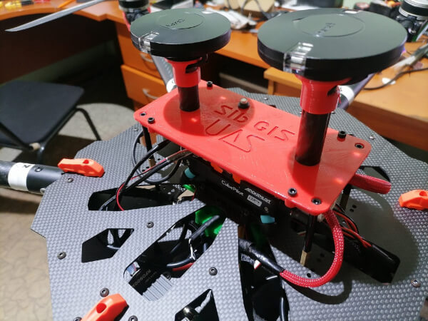
The uniqueness of the SibGIS UAS unmanned aerial vehicle lies in the fact that the entire unmanned exploration complex, including the software, is designed and developed at INRTU. All important elements and technologies of the complex are original and import-independent. For instance, the carbon for the drone parts is made using the vacuum infusion technology developed at the university. The software is also written by specialists from INRTU’s Siberian School of Geosciences together with LLC Geoinformation Technologies — Siberia. It allows the operator to significantly simplify interaction with the drone by automating profiles and assessment of survey quality, as well as a number of other routine operations.
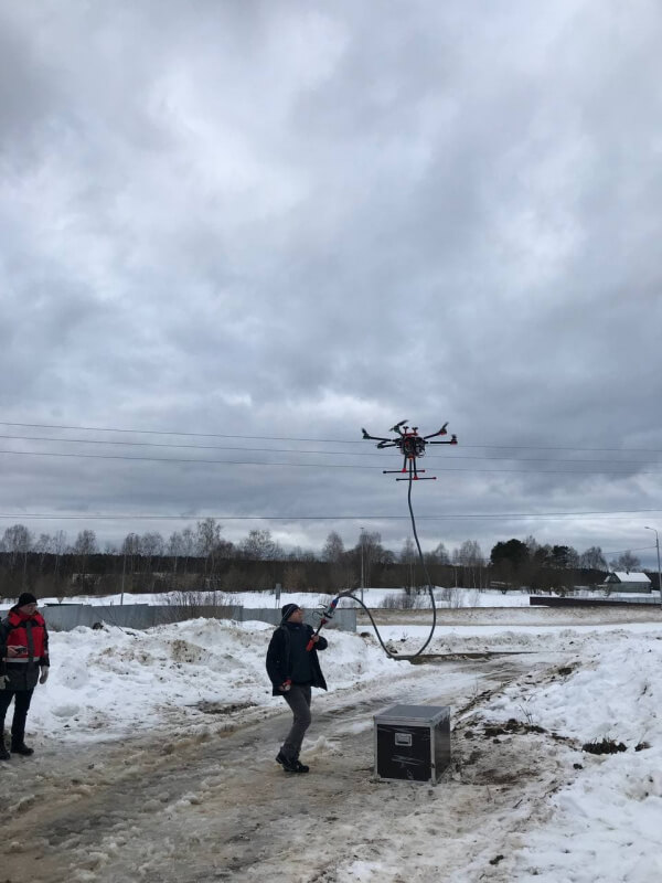
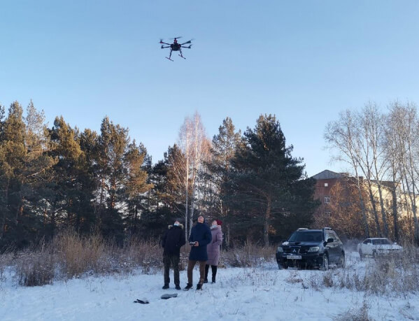
The drone is equipped with a variety of modern technologies. This includes magnetic aerial survey, gamma radiometry, gamma spectrometry, time and frequency domain electromagnetic sensing, multispectral aerial photography, and aerial lidar scanning. The copter is highly stable, easy to assemble and disassemble, and compatible with convenient charging stations.
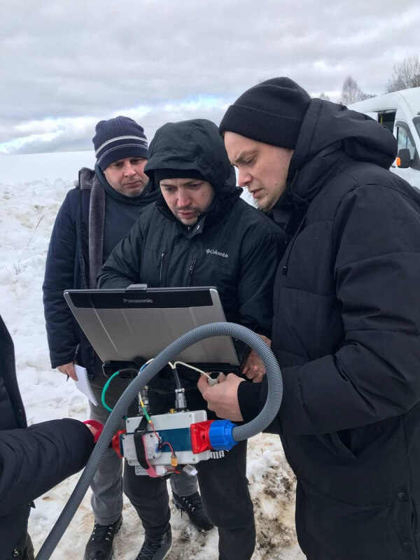
After a series of successful tests, the UAV complex was handed over to the All-Russian Institute of Mineral Resources named after V. M. Fedorovsky (FBGU VIMS) — also a member of the i. GeoDesign strategic project consortium — to refine the theory and practice of geological prospecting in real conditions. In April 2022, a joint field team of INRTU and FSBO All-Russian Research Institute of Mineral Resources will apply SibGIS UAS in Buryatia and in the south-eastern part of Trans-Baikal Territory to search for hidden uranium deposits.

«Joint research will help to establish a methodological and regulatory basis for the implementation of technologies. Through participation and cooperation in the Priority 2030 program, there will be a serious scientific groundwork for the use of integrated unmanned geophysics. Undoubtedly, drone methods are now one of the promising tools for geologists, and any organisation seeking to take a serious position in the geological market should have such systems," underlined Alexander Parshin, an author of the aerial drone complex development and scientific leader of the Siberian School of Geosciences at Irkutsk National Research Technical University.