A gas hydrate lens experiment was conducted at Lake Baikal by geophysicists from the Siberian School of Geosciences (SSG) together with colleagues from St Petersburg
The site was not chosen by chance. According to the Limnological Institute of the Siberian Branch of the Russian Academy of Sciences, a gas hydrate lens was discovered in the area, which is about 300 metres deep and its location is accurately mapped. It was important for scientists to take measurements over the known geological object, to assess the sensitivity of the instrumentation, its depth and resolution capacity. In the course of the fieldwork, the possibility of identifying the gas hydrate lens by different electromagnetic sounding technologies was determined.

«We tested new measurement system configurations, including a modified electromagnetic sensing and induced polarisation system that we have been developing for a long time.
Some methods were used in practice for the first time. We tested new power equipment in various modes, for example the IPS-800 compact current source, which was created by our partners, the Novosibirsk company Cykl-Geo, according to our technical specification. As a result, the current intensity has increased by 20 percent compared to the previous technical solution.
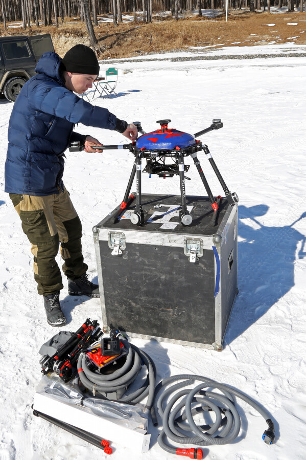
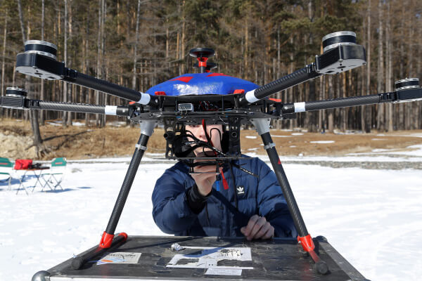
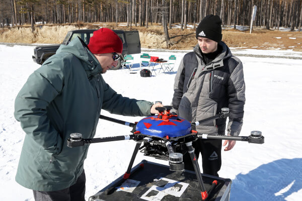
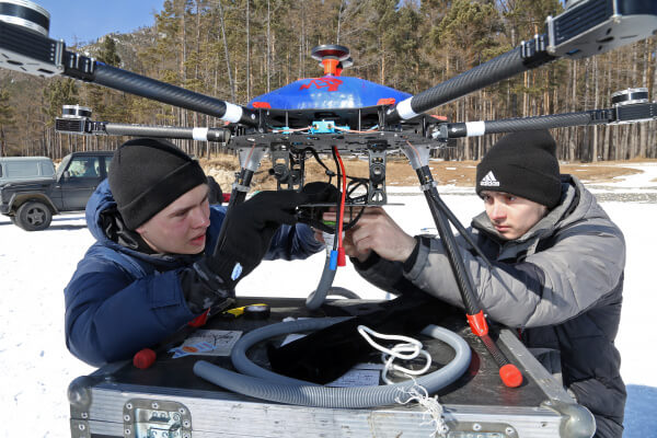
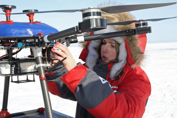
Cicl-Geo also took part in the modification of the induction sensor PDI-50A for UAV-MPP technology, which registers the electromagnetic field fr om the air (suspended from an unmanned aerial vehicle). The sensor was successfully tested," said Yury Davydenko, head of the Department of Geophysics at the Siberian School of Geosciences at INRTU.
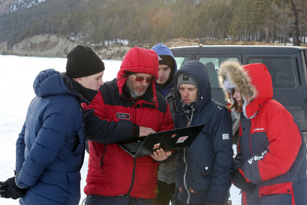
Together with INRTU scientists, specialists from the Irkutsk geophysical company Sigma-Geo headed by Maxim Sharlov and colleagues from Vega (St. Petersburg), which is among the leaders in magnetotelluric sounding, worked on the expedition. The geophysicists from St. Petersburg brought their new technical developments. At the depths of the Baikal ice they tested low-frequency broadband sensors for recording the magnetic field IMS-010 with a frequency range of 0.0001 Hz to 2000 KHz, which ensure research depths of up to tens of kilometres. For the first time, four magnetotelluric stations were used at once, making it possible to survey the profile with the necessary detail.
«Our method uses natural electromagnetic signals of ionospheric and magnetospheric origin as the probing signal. Using the recording data of these variations observed at the Earth’s surface, it is possible to reconstruct the conductivity structure of the Earth’s crust and mantle beneath the location wh ere the research is carried out," explained Evgeny Kopytenko, technical director of Vega (St. Petersburg).
In addition, experimental and methodological work near the shoreline was carried out using electro-tomography methods with SKALA-64 and BIKS (non-contact apparent resistivity meter) equipment. An unique material with known characteristics of the upper water layer — conductivity and depth — was obtained, which allows estimating the depth of research and geoelectric structure of the Baikal coastline.