The program aims to develop a full range of knowledge in the field of "smart digital geology" - from understanding the evolution of the Earth and practical skills in geological prospecting to the development of digital equipment and the use of geographic information systems and AI to process large geodata. There will be no significant “black spots” in modern applied earth sciences for graduates.
BENEFITS OF THE PROGRAM:
Everyone who has any engineering or earth science education can apply for this program. What matters is their desire to intensively acquire universal competencies in the field of “digital geosciences”.
If undergraduates have good study results, we guarantee them the scientific and industrial work in the Siberian School of Geosciences during their studies, gaining experience and earnings.
Educational practice takes place at the unique geological test site Chernorud near the Lake Baikal - a UNESCO World Heritage Site.
The program is a unique combination of Engineering, IT and Geosciences with the result that students spend time both in research labs and outdoors.
The study cases students are working on are very knowledge-intensi

Master's
Degree

English
Language

2 years
Duration
About the program
Learning outcomes
- Basic knowledge in geosciences, sufficient for independent practical activities.
- Programming in high-level languages
- The basics of creating electronic equipment and robotic systems
- Geographic information systems - universal (QGIS, ArcGIS, MapInfo) and mining (Micromine, Oasis Montaj)
- Mathematical and geostatistical data analysis
- Fundamentals of Machine Learning
- 3D modeling of the geological environment
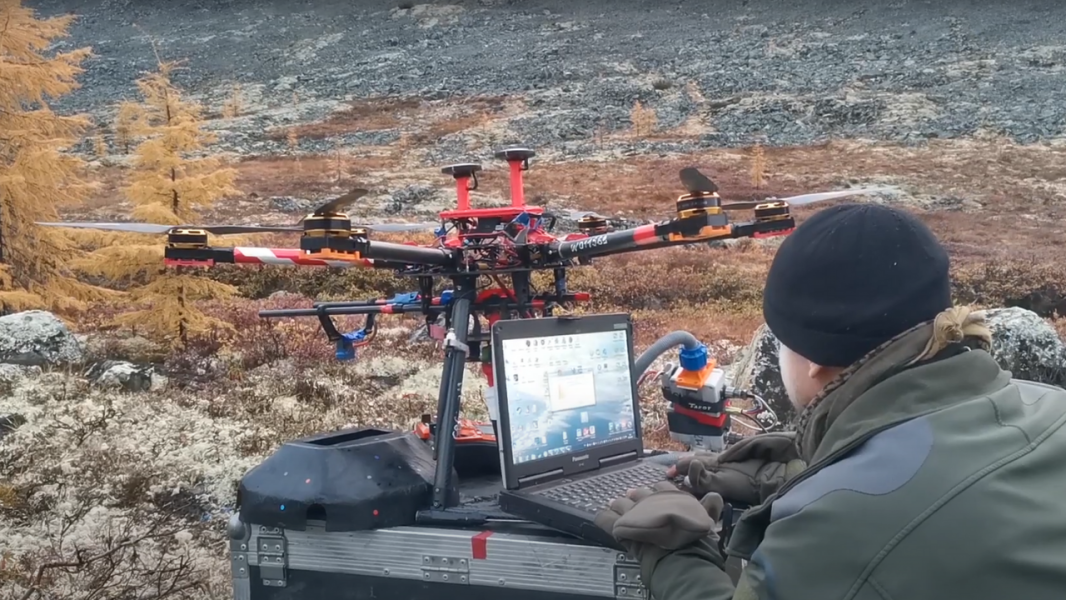
- Practical skills in the creation and application of unmanned air and water systems in geosciences
Career opportunities
The field of GIS technologies in the geological industry is interesting, modern, containing many unsolved problems and, importantly, provided with the financial resource. This makes the graduates of the master's program "IT in Geology" in demand at the mining and geological industry and in the academic sector in positions such as: GIS Engineer, Data Processing Specialist, Geological Team Leader, Operator of UAV for ERS, Geoscientist.
Curriculum
1 semester
1 year
2 semester
1 year
Second Foreign LanguageNISTheoretical methods of geological and geophysical data processingFundamentals of geochemical methodsMethods of deposit prospecting (geochemical and geophysical)Earth Remote sensingArtificial Intelligence, Machine Learning and Neural NetworksProject ManagementData AnalyticsPhysical and geological models of mineral deposits
3 semester
2 year
Program academic supervisor
 Phone
Phone
 Mail
Mail
Teaching staff
Fees and funding
Entrance exams
A computer test in major subject.
Contact us
Phone
+7 (395) 240-52-15
Mail
admission@istu.edu
Contact us


