The INRTU Team-Created Inclinometers Linked Into a Smart Grid
The INRTU Center for Surveying and Geodesic Innovations staff created the first batch of inclinometers and combined the devices into a smart grid. The demo site is located in INRTU’s Technopark. The R&D is carried out under the Priority 2030 Program.
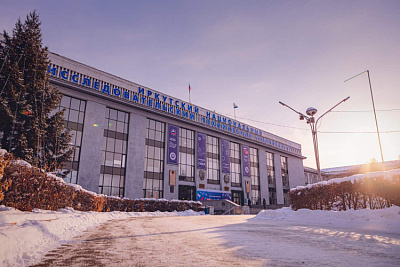
Surveyors installed ten high-precision devices on metal structures in the Technopark, a modern atrium-type building. The smart network will allow dynamic monitoring of structural deformations and prove the advantages of domestic inclinometers to INRTU's business partners.
Semen Gridnev, chief designer of the Surveying and Geodesy Innovations Center, initiated the device development. Previously, he had equipped the patented LIS-1 automatic shaft profiling stations with Chinese inclinometers. Due to adjustments and supplies issues, Semen Gridnev decided to replace the foreign measuring instruments with domestic ones. He entrusted his post-graduates Alina Guseva and Yaroslav Malmygin with designing their own circuit board. The talented engineers successfully completed the task. They learned to design and program low-cost circuit boards that were not only as good as their Chinese counterparts, but ahead of them in terms of performance and accuracy. The INRTU team achieved a very high measurement accuracy of 0.001 degrees.
Currently, two types of devices have been created, one of which is used for the LIS-1 station and its later modifications. The basis of the autonomous device, which can be installed on any construction, is a more functional board with a powerful microcontroller and other electronic components (built-in memory card, Wi-Fi and Bluetooth wireless interface).

"Our 'advanced' inclinometer differs from the other products in that it is possible to connect load cells or temperature sensors. All of the "stuffing" is protected by a rugged case, and the device can operate for up to a year without recharging.
Inclinometers provide quick measurement of any object’s tilt angle. The devices can be placed on bridges, high-rise buildings, dams, oil rigs and shoretanks. The system can accurately monitor foundation displacement (information is displayed online) and prevent foundation damage. Together, the sensor system and software can create a three-dimensional model of deformations in real time.
The high-tech product we have developed is several times cheaper than its analogs. The price of the inclinometer will not exceed 60 thousand rubles, while the existing devices on the Russian market today cost 300 thousand rubles," Semen Gridnev said.
The INRTU staff is working on a contract to supply the first batch of inclinometers to Bystrinsky GOK (Nornickel) for monitoring oil product tanks. The production of 48 devices is under discussion.
The Center for Surveying and Geodesic Innovations team finds it promising to use the measuring devices not only for monitoring deformations of oil facilities. The inclinometer system can replace traditional methods of measurements, which are regularly performed at mining companies according to surveyor instructions. Knowing the exact distance between the sensors and taking into account the deviation from the vertical, vertical deformations can be calculated down to the millimeter.
The demo site is also used for research purposes. Students of the Alidada scientific society will have to determine coordinates using high-precision standard geodesic methods and compare them with the Technopark-based inclinometers readings.
Photos by Arseny Chekmaryov


