
Aerial photography of the Earth using UAVs and photogrammetric image processing are an accessible way to obtain photographic plans and digital terrain and relief models, and currently are widely used in various industries. However, there are professional tools in this sphere that allow specialists to obtain detailed information about large areas, which is especially important for georesearch. Such tools can be applied when studying and monitoring various areas - from mangrove forests to mining industry.
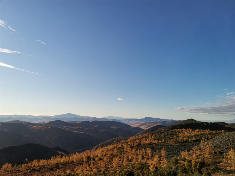
This summer school is aimed to provide students with the full set of competence - from how to assemble a UAV or multispectral camera, to how to obtain geodetic accuracy results in the most difficult natural conditions. The program includes two weeks of a necessary minimum of fundamental theory, and one week of practice workshop at Chernorud geological camp near Lake Baikal.
Apart from studies, the program includes touristic component to enable participants from all over the world to explore the Siberian cultural and historical heritage.
Program dates: July 29 - August 18, 2024
 Double degree program is delivered with

Summer School
Degree

English
Language

3 weeks
Duration
About
Course aim
- Independence of the acquired competencies from the specific solutions of a particular manufacturer. Students will be able to use any technology or build their own simple systems. This applies to UAV designs, autopilot systems, cameras/scanners, and data processing software - only open technologies are used.
- Expanded set of received data through traditional aerial photography in the visible range, multispectral and lidar photography. Data is processed to obtain digital terrain and relief models, both in the visible range and beyond, with the calculation of useful multispectral indices that allow to obtain information that is similar to satellite remote sensing, but much more detailed and accessible with the help of UAVs.
- Focus on georesearch tasks such as large areas, problems of geology, geoecology, hydrology, etc.
Target group
The course is intended for geoengineers and georesearchers who wish to quickly obtain all the information needed for advanced activities on the creation and application of a full range of unmanned remote sensing of the Earth's surface.
SCHOLARSHIP
The program is implemented within Summer Multidisciplinary University which is sponsored by Russian-African Network University (RAFU). Scholarships will be provided to 8 international students who successfully undergo a competitive selection organized by INRTU.
Based on the results of the selection, 8 finalists will receive scholarship to cover studies, accommodation, cultural program in Irkutsk, transfer from Irkutsk to Chernorud.
For those who don’t receive the scholarship but would like to study with own funds, fee is 25 000₽.
All participants (including those who obtain scholarship) cover at their own expense:
- tickets to Irkutsk and back;
- food at Irkutsk (about $6 a day);
- nature sightseeing tours in Irkutsk region (optionally).
Fees and funding

25 000 ₽

Requirements
To participate in the competitive selection process for the scholarship, please send the following list of documents to the email amelenteva@istu.edu:
(1) a scan of international passport,
(2) a scan of academic transcript of your current education,
(3) academic CV.
Application deadline: June 1, 2024.
(1) a scan of international passport,
(2) a scan of academic transcript of your current education,
(3) academic CV.
Application deadline: June 1, 2024.
Contact us
Phone
+7 (395) 240-52-15
Mail
admission@istu.edu
Contact us